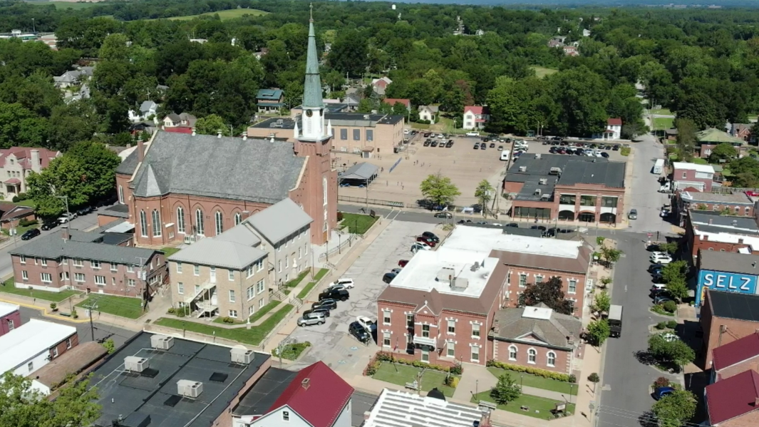
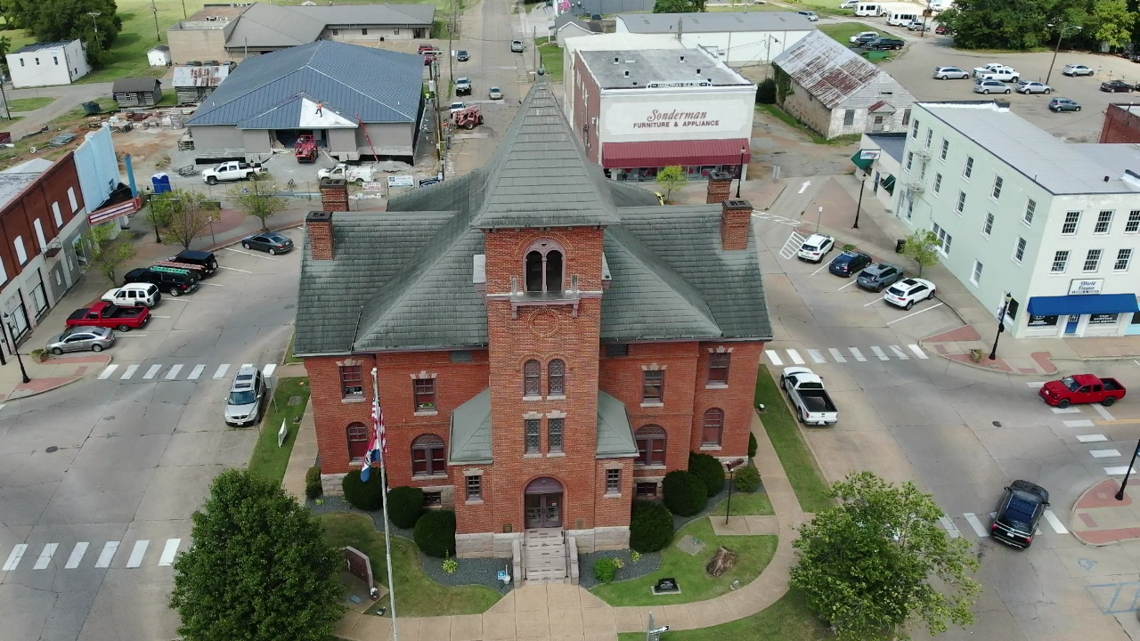
GIS and Mapping
SEMO RPC provides Geographic Information System (GIS) and mapping services for all of its members in the seven county region. These services range from maintaining local maps, including street line, parcel, zoning, ward, and utility maps to providing drone based imagery and lidar data collection.
The RPC leverages ESRI and Autodesk software along with mapping grade GPS equipment to quickly and accurately collect data and inventory community assets. Analysis of this data is performed to support local decision makers, inform planning efforts, and support all of the RPC’s programs.
Much of this data is made available through online web maps that are available through our SemoGIS website. For more detail on our GIS and mapping related programs and projects, please visit www.semogis.com.
Services
Web Map Services
The RPC provides online gis data hosting services for many local and surrounding entities. To view available web maps, please visit semogis.com or utilize the links below.